
Maps API for web & mobile developers
Customize maps, upload or create own geodata and publish online
Start for free browse maps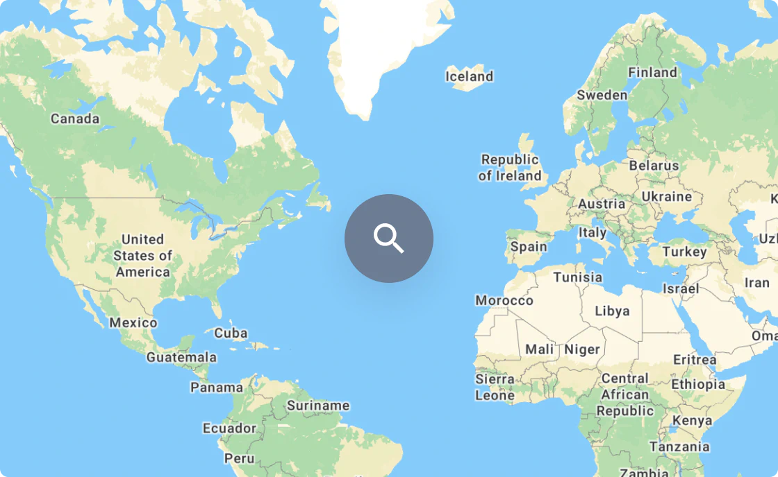
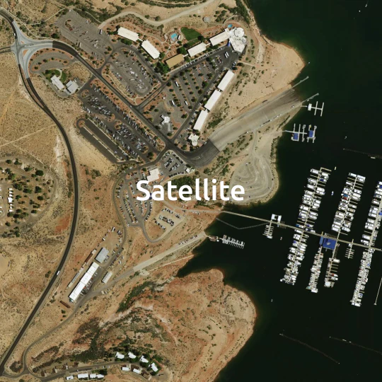
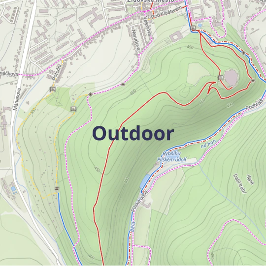
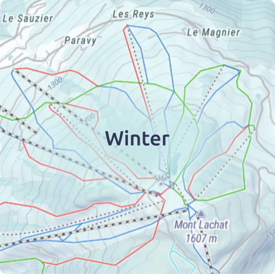
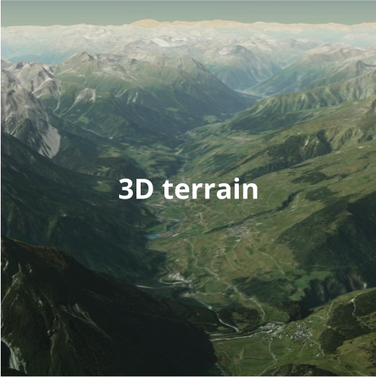
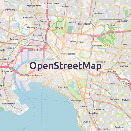
Ready to use base maps
Street and satellite maps of the entire world

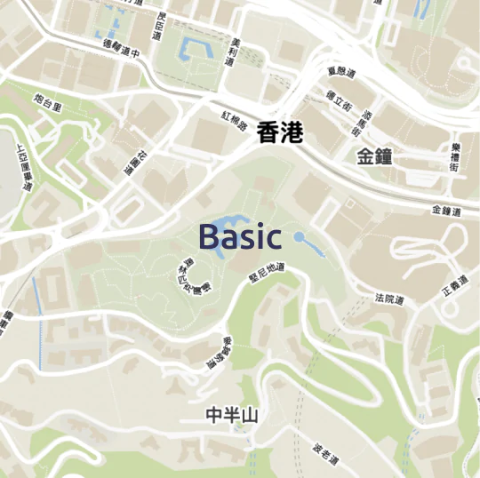

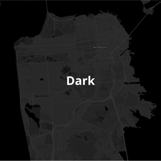

Customize maps online
Design the perfect maps for your web and mobile apps.
Switch language, change colors, and select fonts to match your brand.
Discover the Customize tool

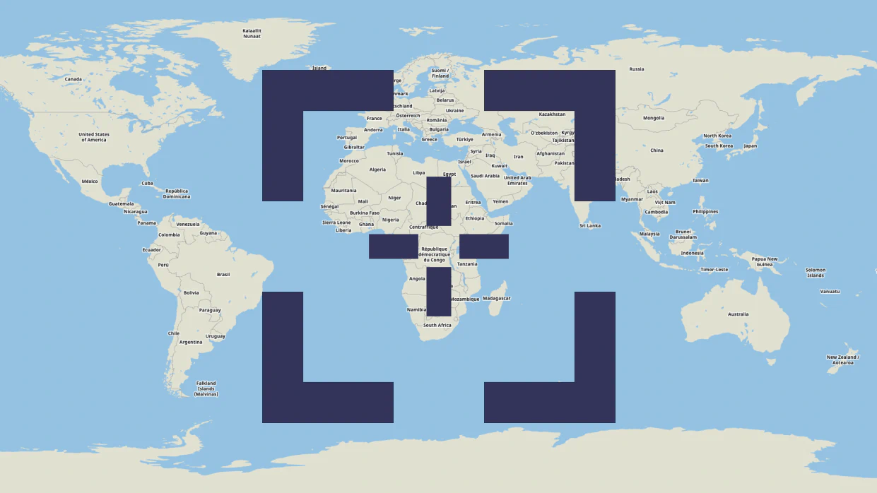
Upload geodata of any size
Global hosting infrastructure for your spatial data.
Upload terabytes of geodata via upload API or using the web interface.
Learn about hosting for spatial dataEdit your data
Add points, lines, & polygons and annotate in a few clicks.
Add directly to your map and use it on your web or mobile app via API.
Discover Edit tool
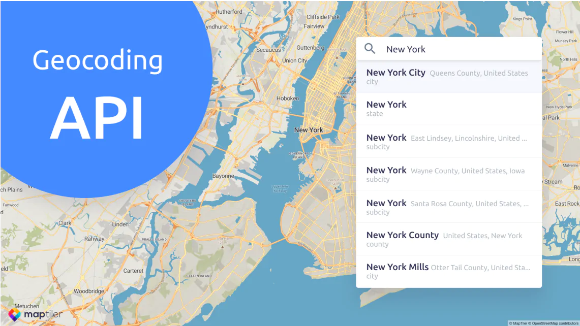
Search & Geocoding
API for the transformation of place names and addresses to geographical coordinates and vice versa.
Find any place on Earth (states, cities, streets down to the address level etc.) or get a place name for your coordinates.
Discover geocoding
API for web & mobile
Use raster tiles with Leaflet, OpenLayers, or XYZ, vector tiles with MapTiler SDK, or WMTS for QGIS or ArcGIS.
API Documentation
Coordinates API
Automate searching for EPSG codes and converting between coordinate systems via API.
IP Geolocation API
Get information about your visitors location and serve content explicitly targeting them.

Read latest news about MapTiler Cloud

Try MapTiler Cloud now!
Free account for personal use and evaluation.
API documentation for developers.